
Chile is a gorgeous country with regions ranging from desert to rainforest, high-altitude mountain tops to the unending Pacific Ocean coast. Wherever you are, there are views of mountains nearby, including many picturesque volcanoes.

Here are some more photos of the salt flats in the Atacama desert in Northern Chile.


Flamingos are odd-looking, at the same time, beautiful birds. And they were quite a novelty for us from the northern climes.


The salt flats are literally huge areas of salt deposits that are left by surface waters that evaporate after leaching salt from the underlying soils and rock. Flamingos are just one of the exotic animals that like this environment. I'm sure all creatures up in this area have some pretty sophisticated kidneys to be able extract water from these salty lakes.

It was surprising to me to see how vast the salt flats are. High in the Andes, flat terrain might seem unusual. But this region is at 8,000ft. elevation and is an absolutely flat landscape that is almost as big as Yellowstone National Park.

After the side trip into the northern Chilean Andes, we headed back down to the coast. The waters along the Chilean coast are cooled to as low as 50F as they circulate with the Humboldt Current deep along the bottom of the Pacific Ocean until they are forced to the surface by the west coast of So. America. So we didn't do a lot of swimming despite long days traveling through the hot desert. We did eat as much seafood as possible, knowing we were eventually heading to the land of beef on the other side of the mountains.


The people living in the Andes are very aware of the possibility of earthquakes and volcanic eruptions. For us, the Andes were just a gorgeous part of the landscape, until we felt a tremor in the middle of the night in a region where there was an 8.8 (!) magnitude earthquake a couple of years ago. Soon thereafter we drove past Mt. Puyehue, a volcano that just last year (June 4, 2011) exploded with the force of 70 atomic bombs, spewing 100 million tons of volcanic debris into the air, covering a huge nearby region (including Bariloche). Currently, there are many places miles away from the volcano where the ground is still covered with 2-3 feet of sand and pumice.


This is what is left of Mt. Puyehue that covered Bariloche in sand and ash last year. The sand on the side of the road is the volcanic debris left behind. The trees in these woodlands are nearly completely dead, denuded of leaves. A few miles down the road, the forests that were just out of the trajectory of the volcanic debris are lush temperate rainforests.


A huge lava plug from the center of a volcanic cone that eroded away many years ago.

In Puerto Montt, a Pacific Ocean port town that reminds me a lot of Bellingham, Washington.

On the ferry to Chiloe Island.


This picture was taken right before Erich was mauled by this sea lion when he tried to take a picture of the animal's nose hairs.

Just kidding.

A month after arriving to Bariloche, we returned to Southern Chile to travel further south on the roadway that is being built along the southern coast. There are 3 stretches of the coast there where the highway is not yet finished and ferry boats like this one complete the route.


Salmon farms are a huge industry in these coastal waters.


The last ferry boat took us to this amazing place in the Chilean temperate rainforest--Pumalin National Park. As if they were part of a welcoming crew, a small pod of dolphins played in the waters near our ferry as we landed at a car ramp.
The Pumalin Park includes 800,000 acres of old-growth wilderness that together with other surrounding parklands is similar in size to Yellowstone National Park. The land was purchased and donated by Douglas Tomkins, original owner of The North Face outdoor equipment and ESPRIT clothing company, then enlarged significantly with lands donated by The Conservation Land Trust.


While settling in to sleep in the cabin in the center of the photo above, we watched a night time storm begin to rage, with rains blowing sideways and big waves in the fjord waters just feet away. With bright lights shining on the concrete ramp where ferries land to unload passengers and cars, a large ferry attempted to dock sometime before midnight. We gathered at the window to watch what might happen, fearing for the life of the man standing on the bow of the ship, directing the captain toward the landing ramp. The ferry was blown by the wind, pushed by the waves past the ramp, then began to power its engines in reverse in order to prevent running aground. Fortunately it was able to return out to sea--despite the storm, it was safer to stay in deep waters at night than to attempt coming ashore again. The next morning, the waters were calm again and boat traffic resumed its normal schedule.


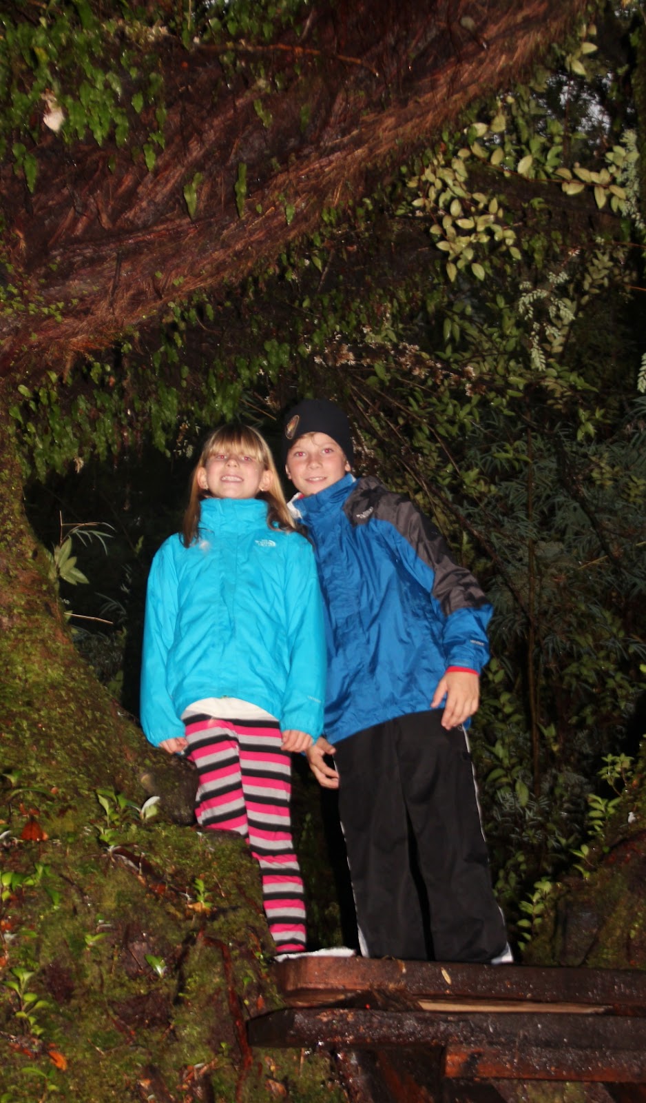

One of the remarkable parts of this wilderness area are stands of old-growth Alerce trees, a member of the cypress family. These trees resemble the larger Sequoia tree of North America, but have a much longer life span. Some of these trees have been determined to be over 3,000 years old!


Along the way, we enjoyed the company of an Aussie couple, Sarah and Mitch.


Much like the Washington Cascades, the higher elevations in this area receive huge amounts of snow in the winter. In these parts, there are even some glaciers that are actually growing rather than receding like most glaciers in the world.
