After driving from Ecuador to Lima, Peru, we hopped a plane
to Arequipa, then onto Cuzco, the capital of the Inca Empire (1400-1532
A.D).
We spent the first couple of days gathering gear for the 5-day hike to Machu Picchu and acclimatizing to the 11,000ft. elevation of Cuzco. For me, it was a nostalgic time, wandering the streets where I had lived in 1985-87.
A beautiful train ride takes hikers to and from the Inca Trail trailhead.
From start to finish, the trail is 28 miles long with about 8,000ft. of elevation gain along the way. We took 5 days to do the trip, so the pace was reasonable for all, including Annalise. In the background in this photo, the green diagonal line on the hillside is the trail we hiked earlier in the day.
While reaching Machu Picchu at the end of the trail is the big prize, the best part of the trip is seeing the smaller, remote ruin sites along the way.
It was a moving experience to walk the pathway that Inca nobility and warriors had travelled not so long ago. Their civilization was complex and sophisticated, with irrigation systems, roads, intricate religious doctrine, and beautiful art. Creating all of this in such remote wilderness, isolated from the rest of the world makes the Inca culture seem like a mythical civilization.
Priests and other Inca nobility were buried in cliff graves with valuables such as intricately woven textiles, jewelry, and pottery.
We hiked with 4 other travelers (2 Kiwis, 2 Welshmen, 1 Singaporean). The National Park system requires traveling with a guide and supporting porters/cook. We enjoyed the support, especially at meal time!
Here's our gang of travelers. Zhan enjoyed telling a story of eating cat at a local restaurant back home in Singapore. The Welshmen insisted on the group playing Uno every night after dinner, nearly coming to blows over game tactics each time. The Kiwis provided the only sense of reason and civility among the group. Our kids enjoyed trying to keep pace with the adults on the trail and imitating the various accents in the group.
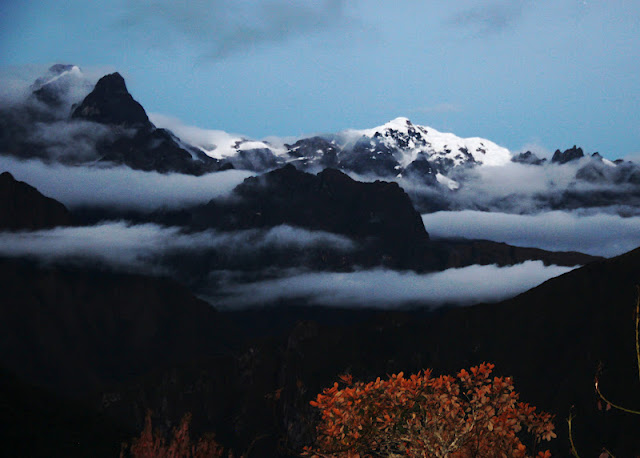
Occasionally the clouds would part and we would be able to see the higher peaks surrounding the green foothills of the Andes.
These rock knobs were used to secure rafters for grass-thatched roofs seen below.
On the last day, we hiked to the highest point along the trail, 13,700ft. Too bad we didn't get to enjoy any glorious views as a reward!
After reaching Machu Picchu, the sun did eventually come out. You can appreciate why they call it the Lost City of the Incas. It remained hidden in thick jungle until 1911 when Hiram Bingham re-discovered it.
In the lower left is the main entryway to the city where approximately 750 people lived during the Inca empire.
The setting of this city in the mountains is gorgeous. What impresses me more than anything about the Inca cities, however, is how the architects and builders embraced the landscape in which they built, like Frank Lloyd Wright, accentuating the beauty of the land around them with their structures. The Incas didn't hesitate to excavate mountain sides to build their cities, yet here they chose to leave these bedrock outcroppings, not because they were too big to remove, but for aesthetic reasons, like our version of the rock garden.

This is the back entry-way to Machu Picchu. A wooden bridge could be removed from the stone walkway built at the base of the cliff to stop potential intruders.
Our team of intruders.


